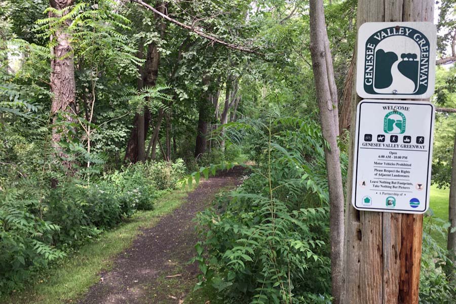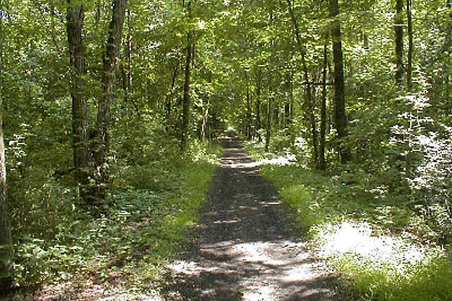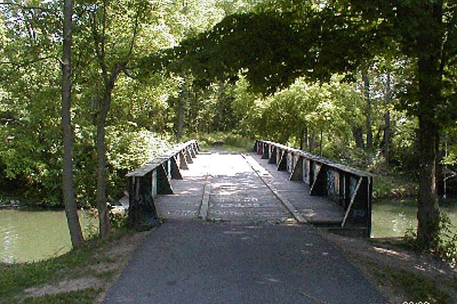
The Genesee Valley Greenway is a long multi-use trail following the former route of the Genesee Valley Canal and Pennsylvania Railroad from Rochester south through western New York toward Hinsdale. It consists of both gravel and paved sections across a scenic river valley landscape, connecting small towns, natural areas, and cultural sites. While the full Rochester to Hinsdale route (≈90 miles) is still being completed, many open sections already offer a great continuous ride through woodlands, farmland, and rolling terrain.
Since public transportation is limited within the route, all distances and measurements are based on the Out-And-Back navigation.
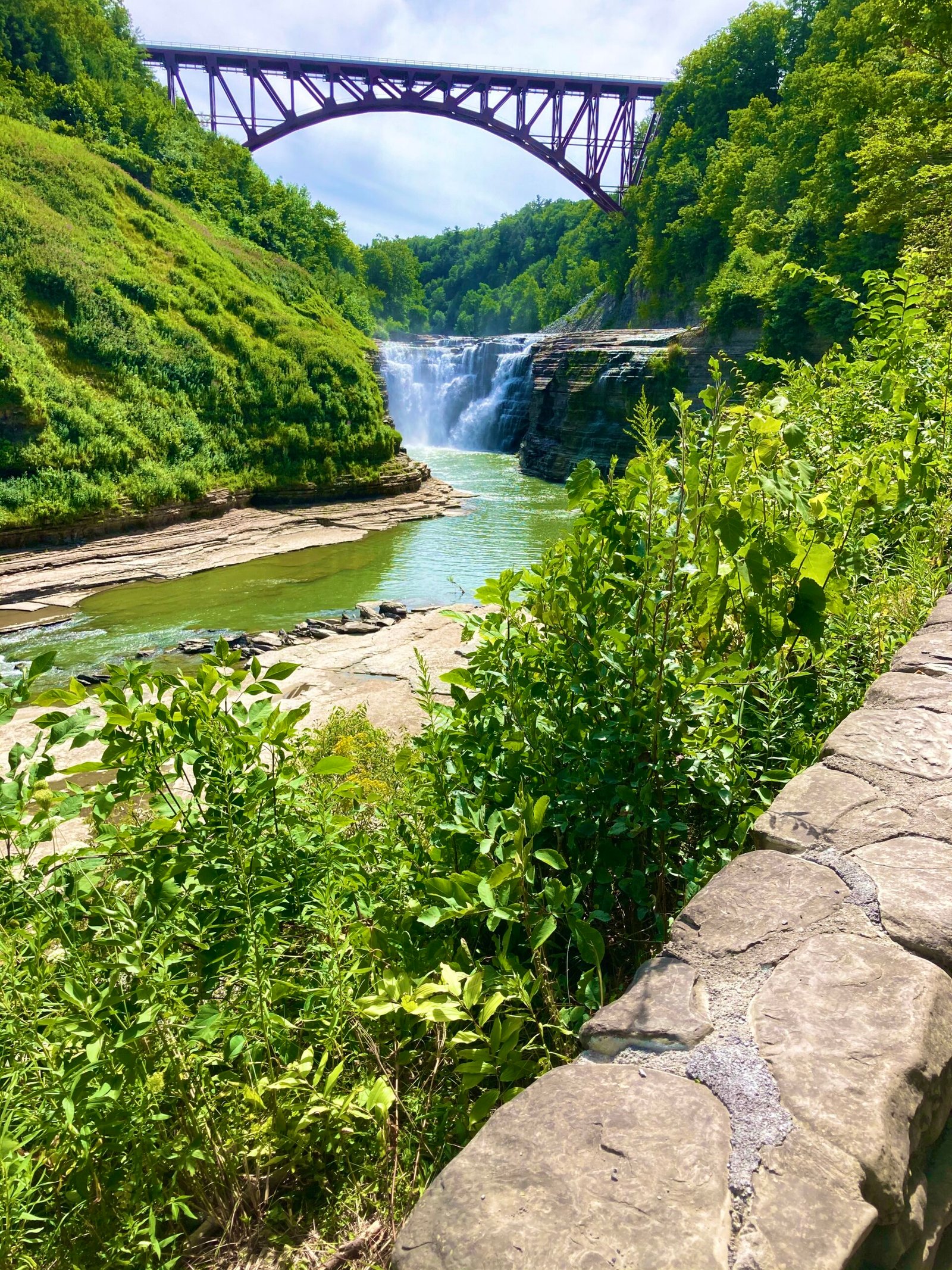
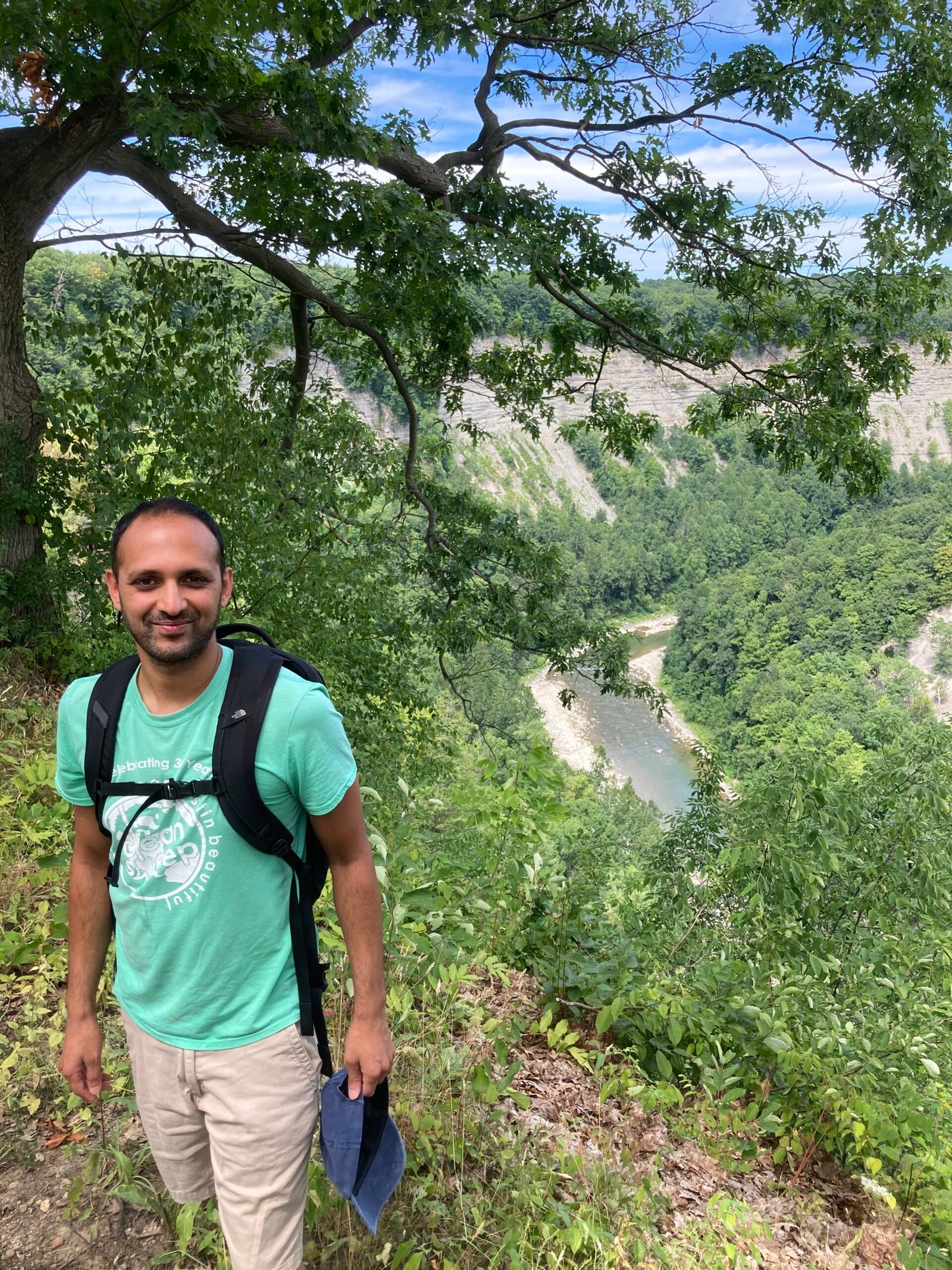
Noteworthy Detour: If you have some extra time, you MUST check out Letchworth State Park. This is a pretty stunning canyon area with pretty dramatic waterfalls that seemingly pops out of nowhere in the middle of these cornfields. Highly Recommend!!!
The trail is mostly flat and passes thru several towns along the way. Primary logic for the difficulty is that there are several sections which you share the road with vehicles. Most of these paths are on very quiet roads. Also some sections of the route pass thru areas with limited resources so planning for Food + Water is critical.
My Scottsville Hots (Scottsville, NY): Great spot for fueling up on local American cuisine. Directly off the trail.
Artisan Coffeehouse of Scottsville (Scottsville, NY): Cute cafe with nice food. Directly off the trail.
Yard of Ale (Piffard, NY): Great bar and filling food. . Directly off the trail.
Kish-a-wa Creamery and Lulu’s Coffeehouse (Nunda, NY): Ice Cream and Coffee!. Directly off the trail.
Valley Bread and Bounty (Fillmore, NY): Great local bakery . Directly off the trail.
Six South Pizza, LLC (Cuba, NY): Great pizza and wings. Directly off the trail.
Letchworth State Park Campground (mt morris, NY): Public Park campground. Highly recommend due to proximity to the gorgeous scenery at Letchworth!. Located in the park.
Letchworth Valley Campground & Resort, LLC (Pike, NY): Swankier campground with nice campgrounds. Slightly higher priced but amenities are top notch. . About 2 miles west of trail.
718 Outdoors (Brooklyn, NY): This is an awesome local bike touring company that offers several supported tours and micro-tours in the Northeast region. While they are not specifically a shop, they are a great resource in case you need information or would like to do a ride with a group of people! . Online Business.
R Community Bikes (Rochester, NY): Great local nonprofit bike repair and donation service for locals. They don’t sell anything other than repair but is totally worth stopping by to learn more about the lovely community. . Start of the Trail.
Karl’s Bike Barn (Cuba, NY): Great local bike shop and repair located in a Huge Barn!. Directly off the trail.
200 mi
3-5 Days
2400
United States
Terms of Use: Cycling any route featured on this website is done entirely at your own risk. Before setting out, always check current route conditions, and any public or private land closures. While riding, obey all applicable laws, rules, and land-use restrictions, and ensure you carry appropriate safety and navigation equipment. The information provided on this site including route descriptions, maps, and recommendations is intended solely as a planning and inspirational resource and should be used in conjunction with your own research, judgment, and due diligence. The accuracy, completeness, and suitability of the information, and the judgment of the author(s) cannot be guaranteed. Spokenlocal.com, its partners, affiliates, and contributors assume no responsibility or liability for personal injury, property damage, or any other incidents that may occur while riding or following any route featured on this website.