Burlington, VT to Quebec City via Chemin du Roy (VT-USA, Quebec-Canada)

Surrounded by water on this amazing route thru heart of VT and Quebec.

Overview

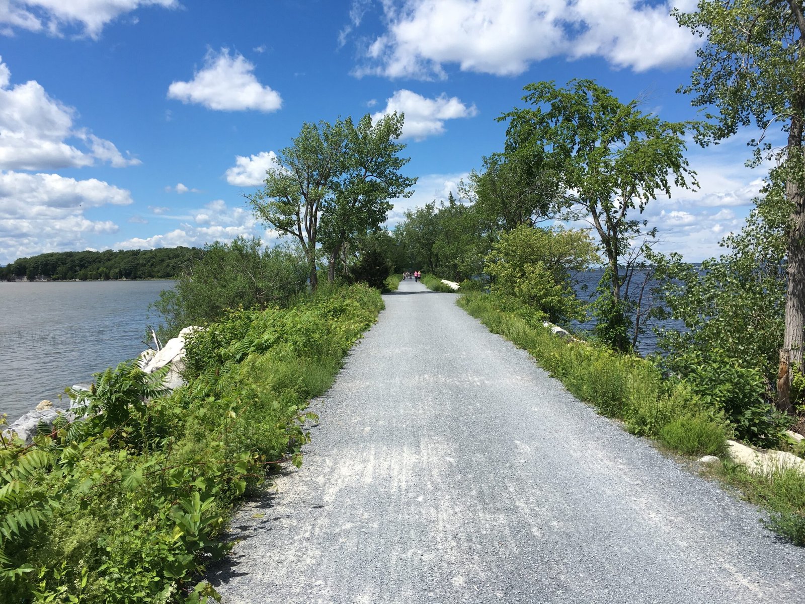
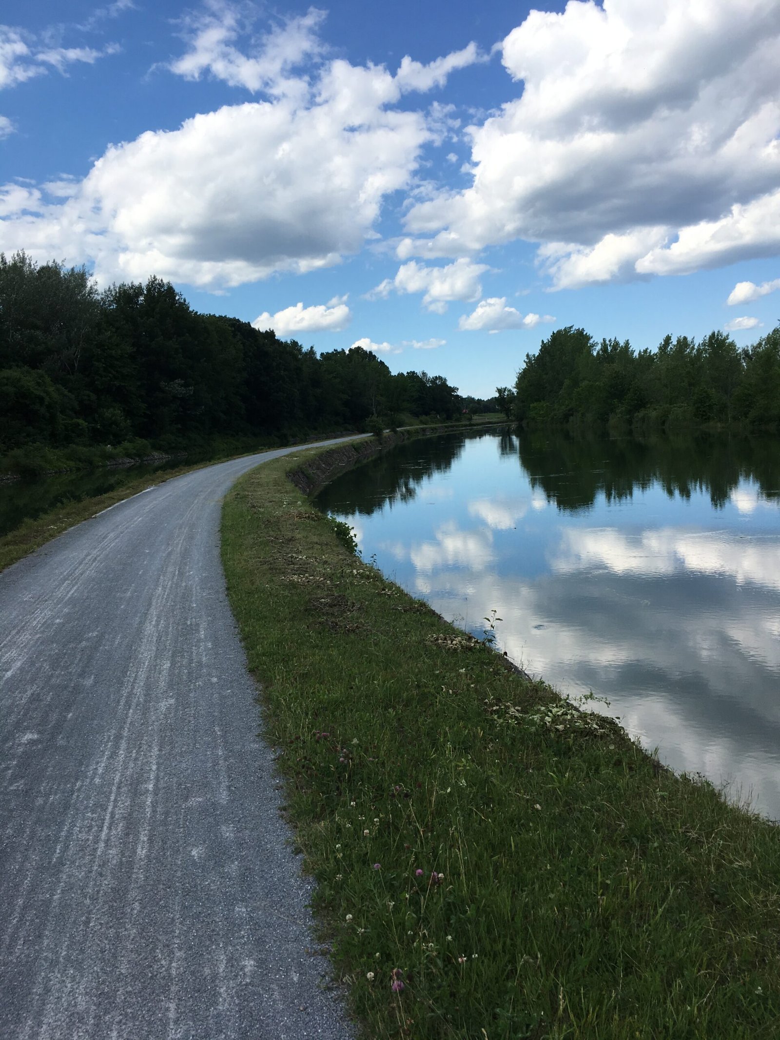
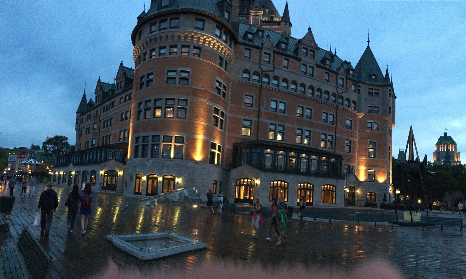
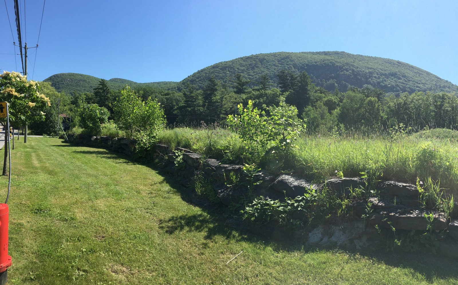
With great challenge comes great reward, and this route qualifies.  It is a challenging ride but you will be treated to great scenery, generous locals, and really unique cultural experience.

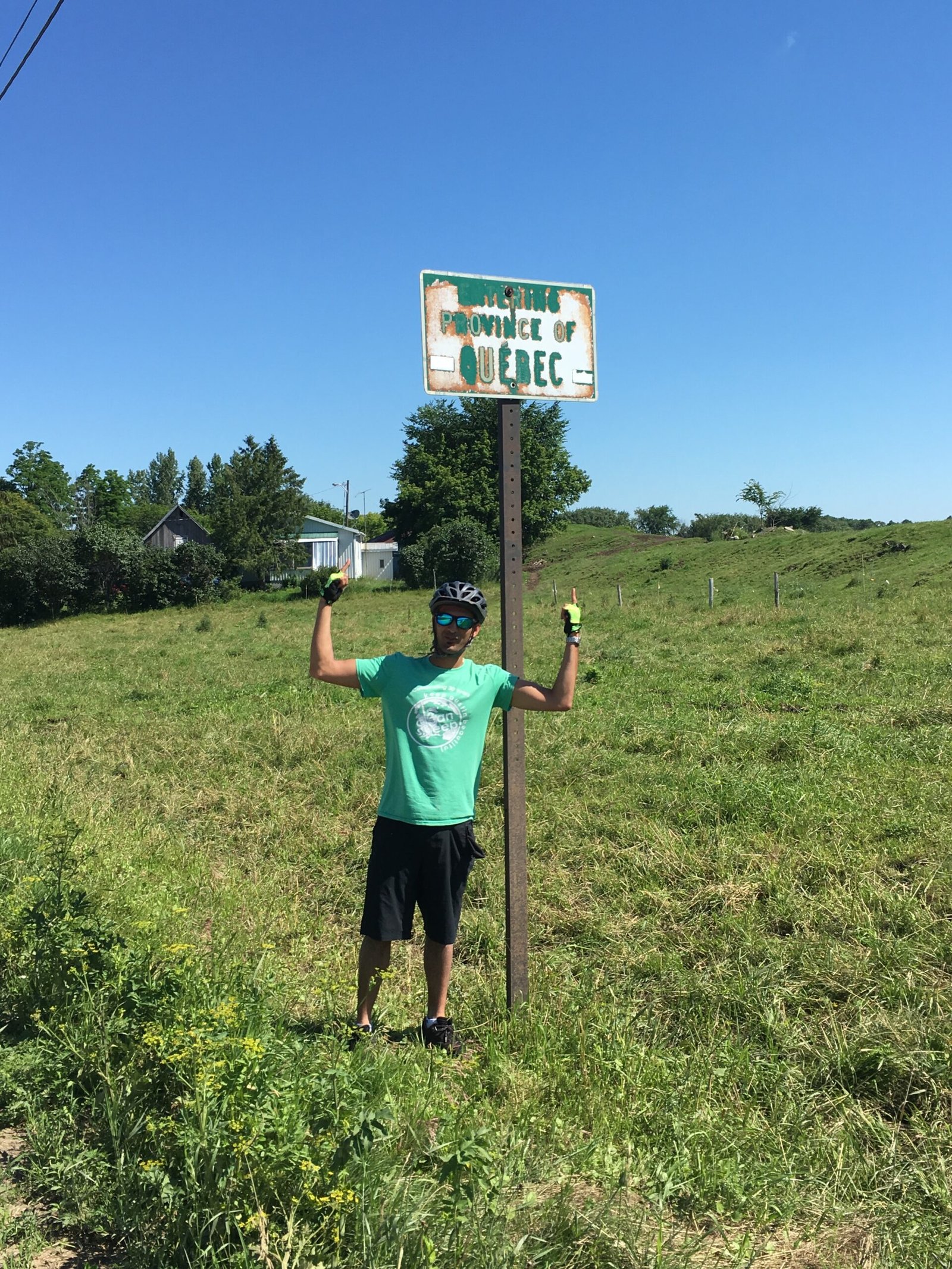
This route consists of 3 distinct sections:

  1. Vermont Islands: Burlington to Canadian Border (~50 miles) - This is probably the most unique, scenic and surreal portion of the trail where you get to see a very unexplored section of America; the Vermont Islands along Lake Champaign.  Although there is no real bike path on the islands, the majority of this section is on very quiet roads.
    • Key Highlight! The first part of the trail after leaving Burlington will take you thru this bike path called the Causeway.  This is probably one of the most underrated sections of biking in America! In fact, I was so mesmerized by this portion I made a mental note of it and proposed to my wife about 8 years later at that very spot.
  2. Richelieu River (Border to Sorel-Tracy) ~90 miles - This section takes you through a combination of canal bike paths, separated bike lanes, quiet roads, and some busy sections with little shoulder.
  3. Chemin du Roy (Saint Ignace du Loyola to Quebec City) ~ 150 miles - The Chemin du Roy is a historic cycling route in Québec that follows the original “King’s Road” along the north shore of the St. Lawrence River from Montréal toward Québec City.  This section combines paved shoulders and quiet rural roads with scenic views, heritage towns, and riverside landscapes, offering a great glimpse into the history of Quebec.

Difficulty Explained

To be on the conservative side, the combination of overall length, shared roads, remoteness (in VT), and language barrier make this a difficult route if you were to undertake this solo.  This trail definitely will require some prior planning and I would not recommend this if you have never done a bike tour or similar expedition-style travel. That being said, there are a lot of things that factor into this rating such as daily planned miles, time of year, and weather conditions.  You can absolutely take your time with just 30-40 miles a day and this can easily be rated as a moderate trail.

Did you know:

  • Vermont is French for "Green Mountain"
  • Chemin du Roy is French for "King's Road"

Interactive map showing the complete route. Green marker indicates start point, red marker shows the end point.

Local Businesses

Food/Drink

Two Heroes Brewery & Public House (South Hero, VT): Good beer and tasty food. . Directly off the trail. 

Kraemer & Kin (North Hero, VT): Brewery with an amazing view of Lake Champlaign. . Directly off the trail. 

Lodging

Campbell’s Bay Campground (Swanton, VT): Gorgeous campground right on the lake. If you start in Burlington, this could be a great 1st night stopping point. No reservation needed. . 3 miles off the trail. 

Camping les Jardins D’Eau (Marieville, QC): Well equipped campsite on a small lake. Great for a dip after a long ride. 2 miles east of trail. 

Camping Marina Louiseville (Louiseville, QC): nice camping spot on Lac Saint Pierre. Directly off the trail. 

Parc De L’Ile Saint-Quentin (Trois Rivieres, QC): Gorgeous little spot on a tiny island. Directly off the trail. 

Resources

Betty’s Bikes (Burlington, VT): Awesome local bike shop that sells very affordable used bikes only. I’ve personally bought 2 bikes from here. Note that the owner is very friendly and will probably be open to a pseudo-rental aggreement if you want to sell your bike after you finish the ride. . Start of the Trail. 

Hero’s Welcome Lake Store (North Hero, VT): General outdoors store that offers rental bikes. Directly off the trail. 

Vélo Conversio (Saint-Jean-sur-Richelieu, QC): Electric bike store. Directly off the trail. 

Velozone Boutique Inc (Saint-Jean-sur-Richelieu, QC): Bike Shop. Directly off the trail. 

St-Pierre Sport De Sorel (Sorel-Tracy, QC): Local Bike Shop before the ferry to cross the river. . Across the river. 

Le Yéti (Trois Rivieres, QC): Bike Shop. 1 mile North of the Trail. 

Notable Sites + Highlights

  • Vermont Causeway: Although this is right in the beginning of the tour, it is absolutely one of the highlights for me! You are treated to this serene ~5 mile stretch where you are on a thin bike path surrounded by water on both sides.
  • Vermont Islands: This is probably one of the more unique parts of the trail.  This is a very under-traveled part of the country and you will absolutely love the serene and quiet section of the route.
  • Mont Saint Hilaire: You can't miss this fairly big hill that seemingly pops up out of nowhere while traveling along the Richelieu river.

Logistics

Transportation To and From

  • To Start: Burlington, VT is easily accessible by vehicle.  It is also served by Amtrak and Bus which can be accessed by major metro areas of Boston + New York.
  • To Finish: Québec City is a major city and offers tons of options including airports, long-distance buses, trains and cars.
  • From Finish to Start: There is an option to get from Quebec City to Burlington via public transit. This will involve a train to Montreal and bus back to Burlington. Both of which allow bikes but you may need to pack it in a box.
  • Border Crossing: There is a legal port of entry that requires proper documentation for cyclists including a Passport!

Recommended Gear

  • Bike: Any bike should suffice for this trail as it is predominantly on asphalt.
  • Clothing: This is a long route, so chances are there will be a few weather patterns while on the route.  Depending on the time of year, plan on carrying rain gear and gear that can have a wide temperature range.
  • Safety: Be visible; either with lights or reflective gear, especially on shared roads.  Also, having lights will be very useful when camping!
  • Camping: Tons of awesome camping spots along the way so I'd recommend planning some camping gear if you decide to go that route.
  • Tools: Multi-tool, spare tubes, patch kit, pump.

Navigation

  • Signage: Outside of the Chemin du Roy, there is very limited signage throughout the route.  If possible, have a GPS tool (Phone is perfectly fine) handy.  Keep in mind that some sections in Vermont have no service so make sure you are planning 10-20 miles ahead.

Resources Along the Way

  • Lodging: Small inns/guesthouses in Vermont towns and throughout Québec Eastern Townships; hotels in Québec City. Also plenty of campgrounds.
  • Food & Water: There are some longer stretches without food (~20 miles).  Some of these towns are very small so don't always count on places being reliably open.
  • Cell Signal: Better in Canada but definitely spotty in Vermont.

Tips

  • Best Seasons: Late spring through early fall (May–October) for best weather and road conditions.
  • Emergency Number (USA/Canada): 911 (+1 country code).
  • International Border Crossing Customs: Have passport/ID ready at crossing; service may be limited in rural posts.

Important Warnings

Border crossing: You’ll require a valid passport and may need to stay on specific roads when entering Canada from the trail sections near Beebe Plain.
Cell Signal: Talk to your cell carrier to ensure you will have service in both countries
English Speakers: Expect to know a little French in the smaller towns. People are extremely friendly and helpful but don't be surprised if you meet people who do not know English in this part of Canada.

Route Details

Distance(Miles)

290 mi

Duration

5-8 Days

Elevation(ft)

2500

Countries

United States, Canada

Start/End Points

Burlington, VT -> Quebec City, QC

Route Format

Point to Point

Bike Lane Types

Bike Path
40%
Separated Bike Lane
30%
Shared Lane
30%

Tags

External Resources

Terms of Use: Cycling any route featured on this website is done entirely at your own risk. Before setting out, always check current route conditions, and any public or private land closures. While riding, obey all applicable laws, rules, and land-use restrictions, and ensure you carry appropriate safety and navigation equipment. The information provided on this site including route descriptions, maps,  and recommendations is intended solely as a planning and inspirational resource and should be used in conjunction with your own research, judgment, and due diligence. The accuracy, completeness, and suitability of the information, and the judgment of the author(s) cannot be guaranteed. Spokenlocal.com, its partners, affiliates, and contributors assume no responsibility or liability for personal injury, property damage, or any other incidents that may occur while riding or following any route featured on this website.