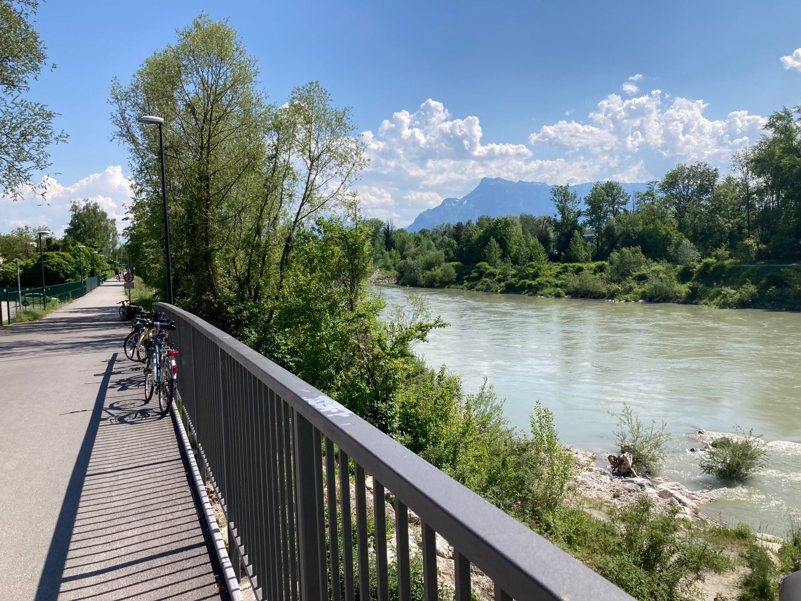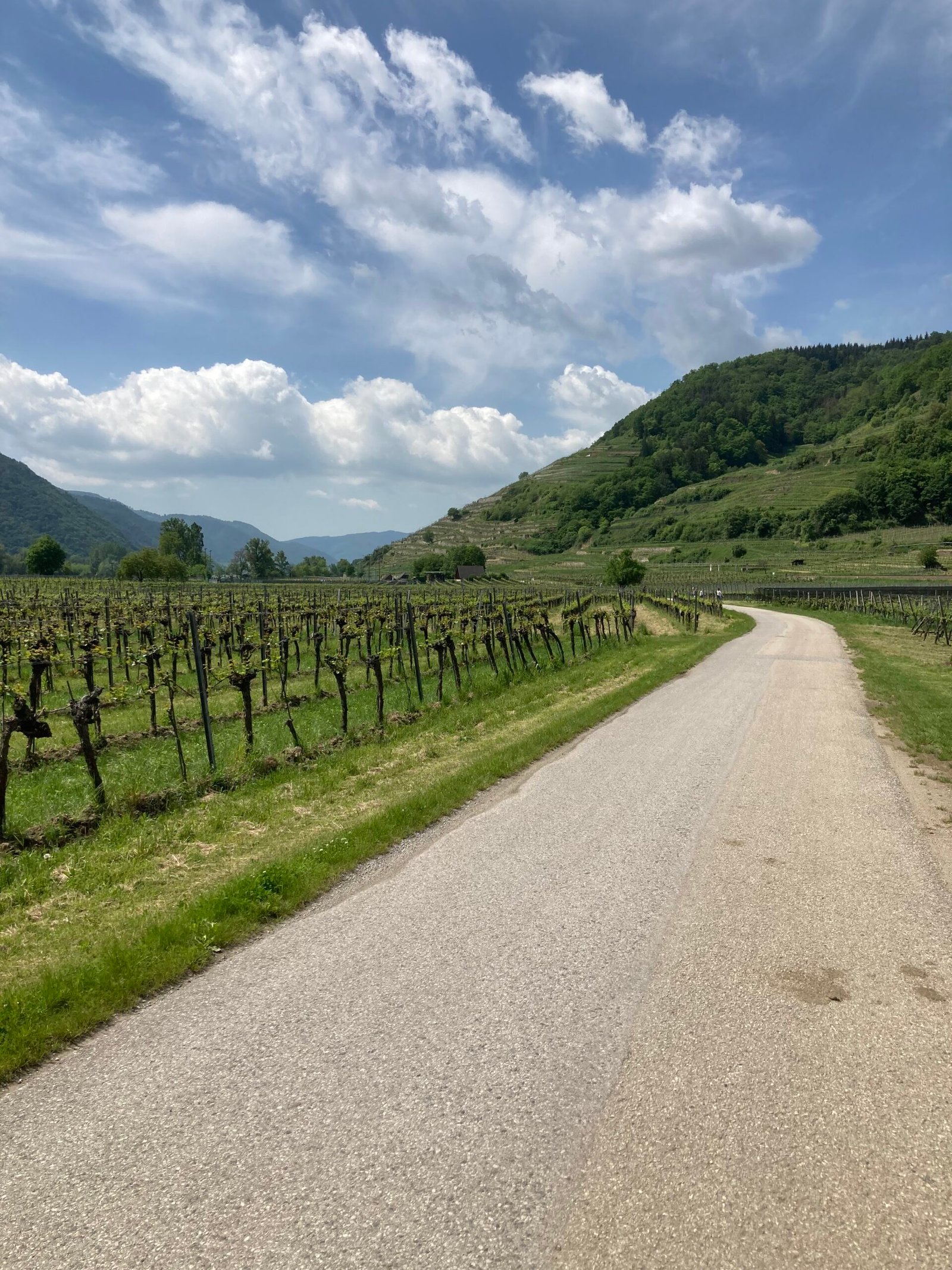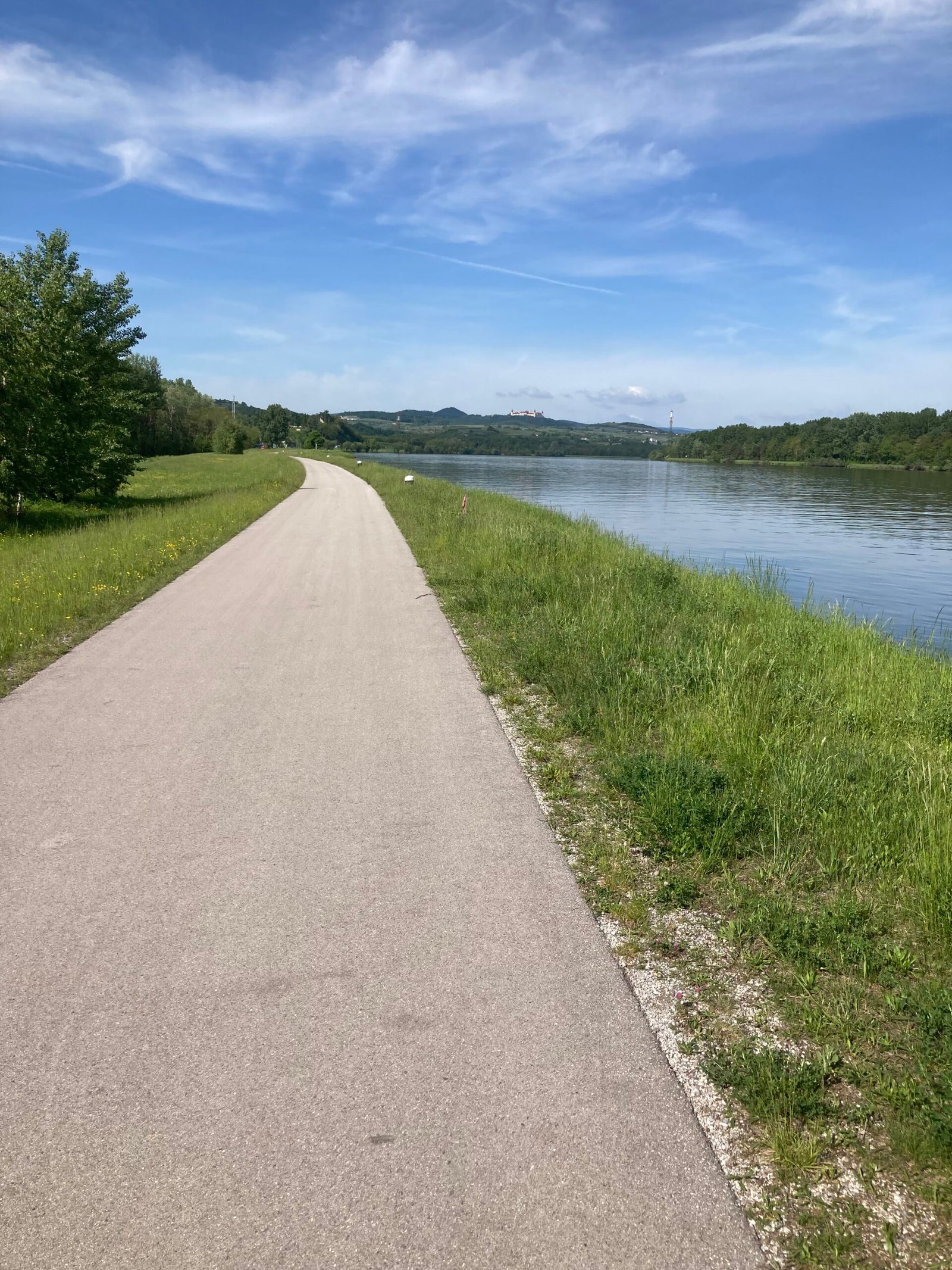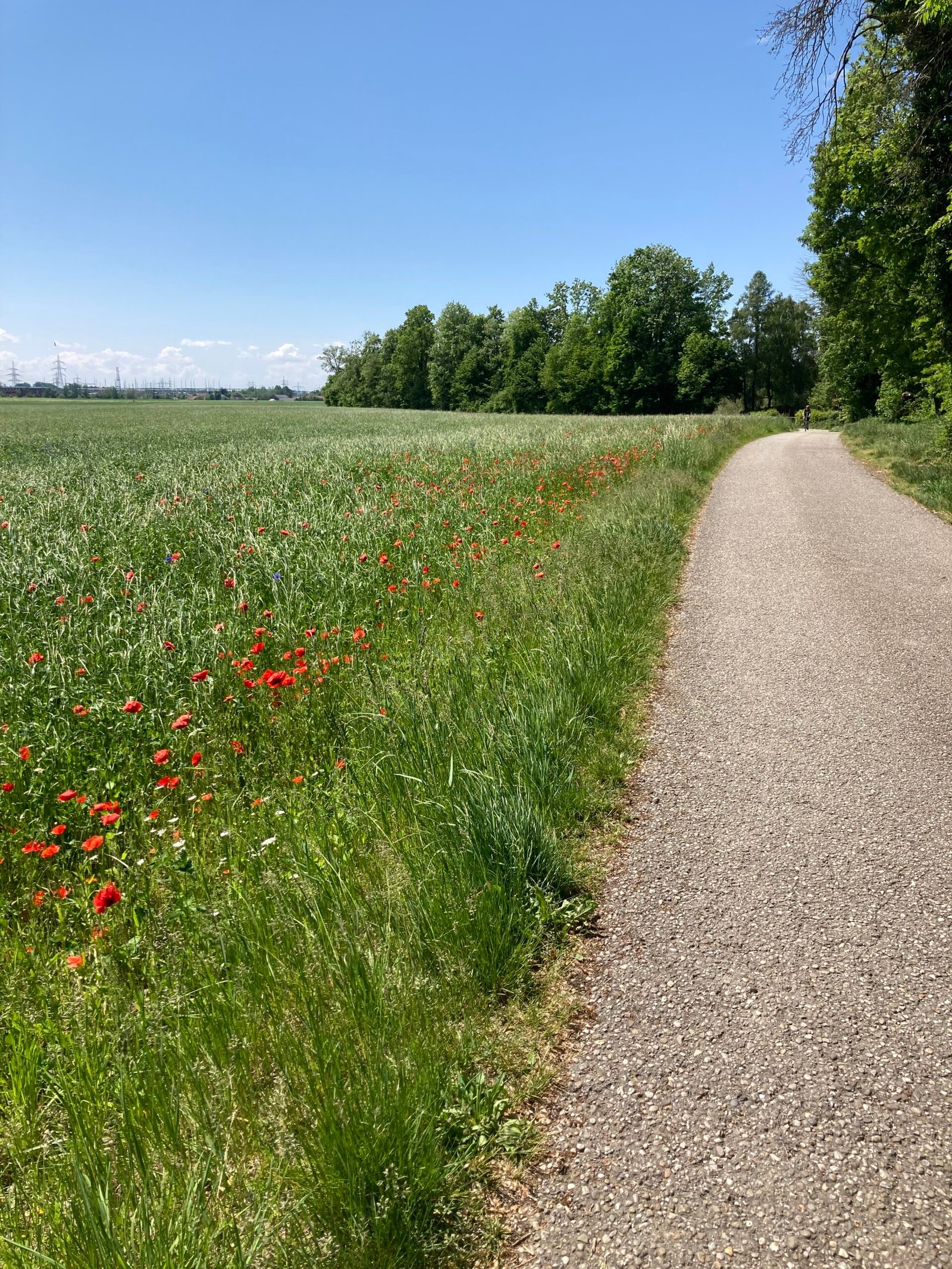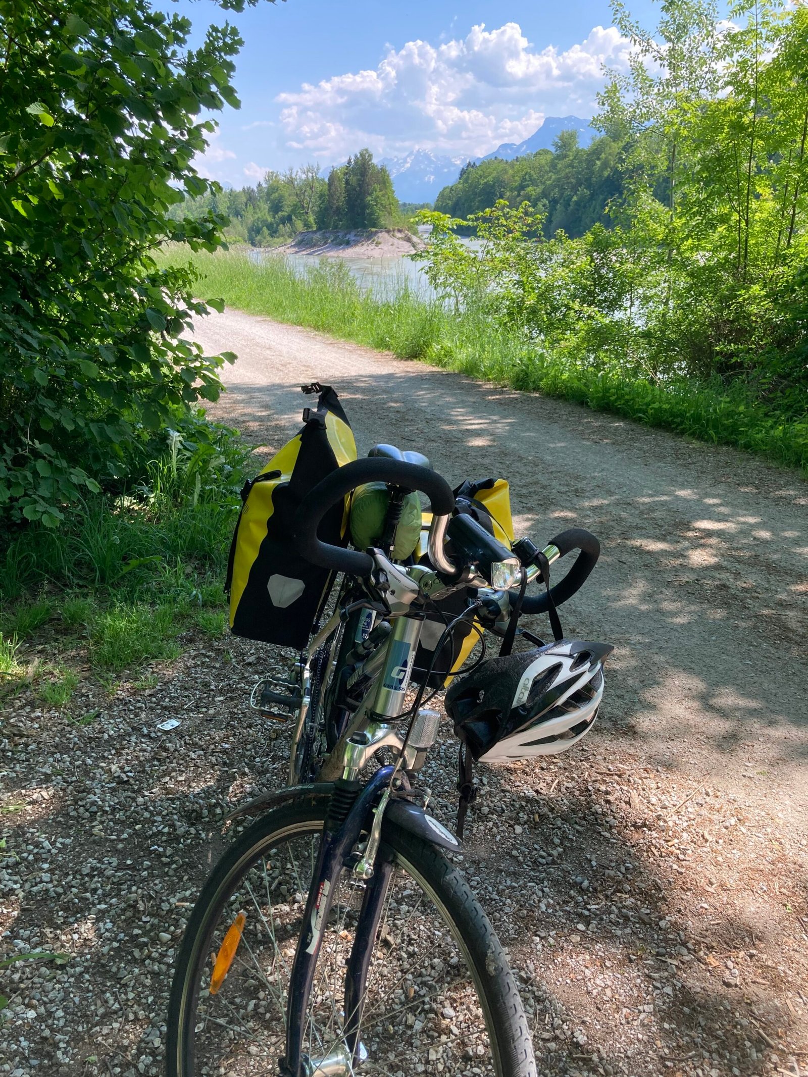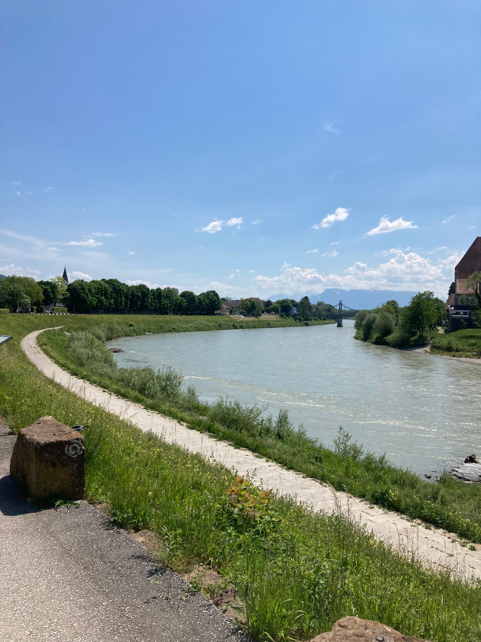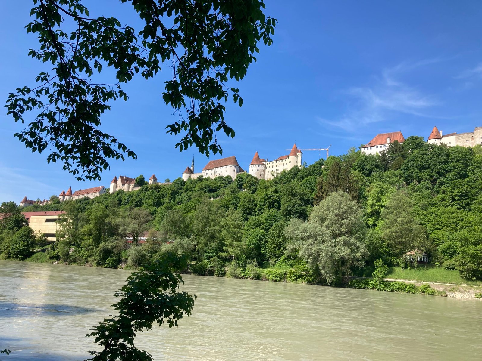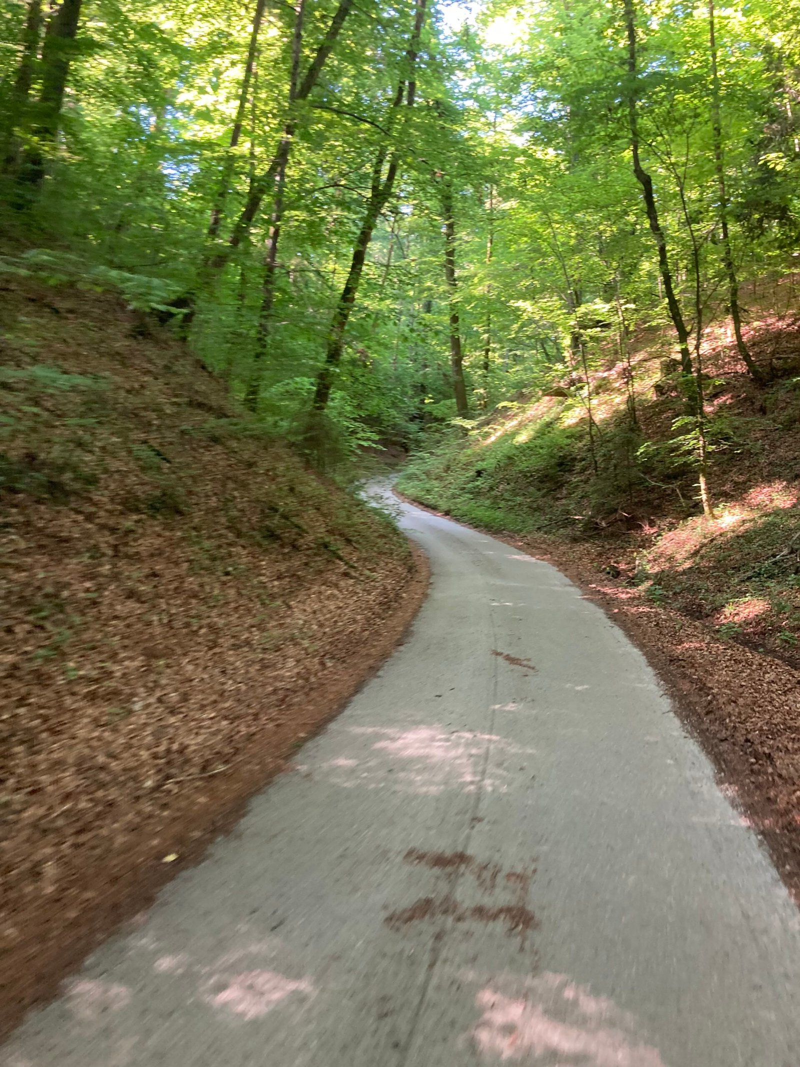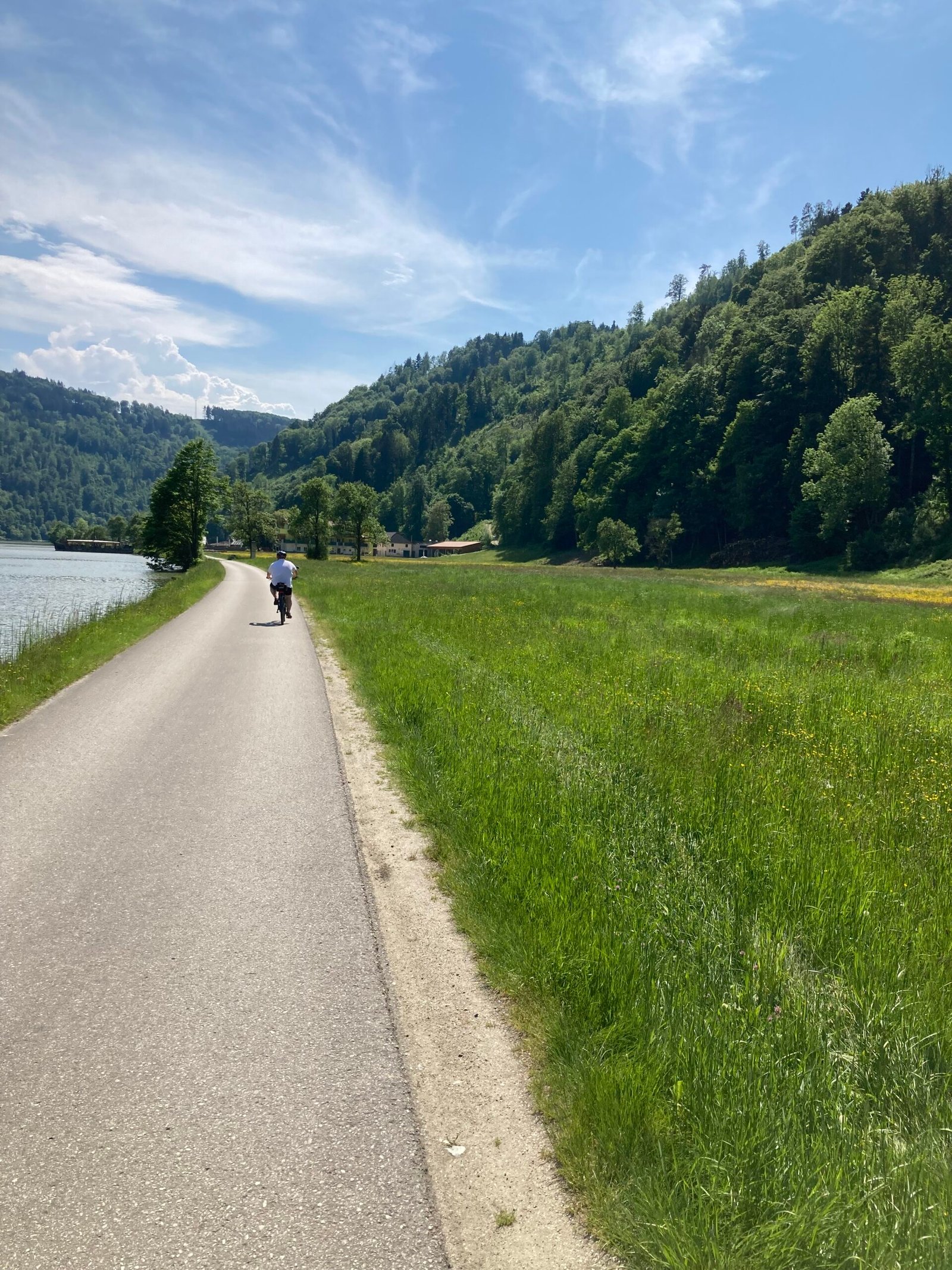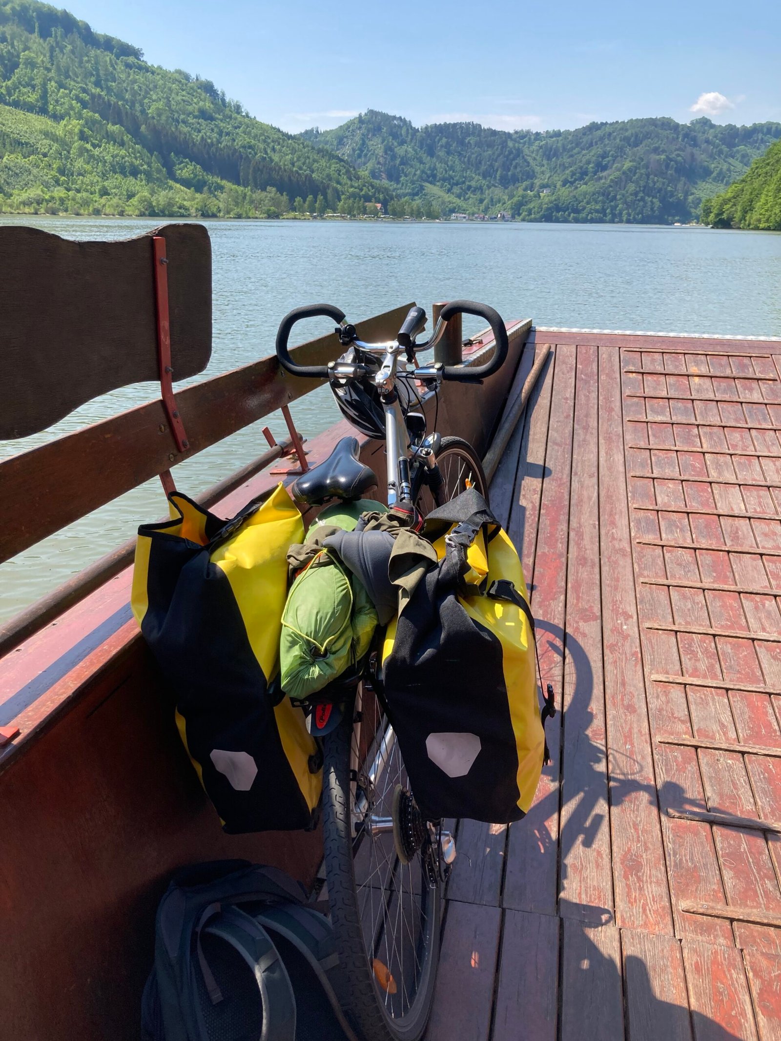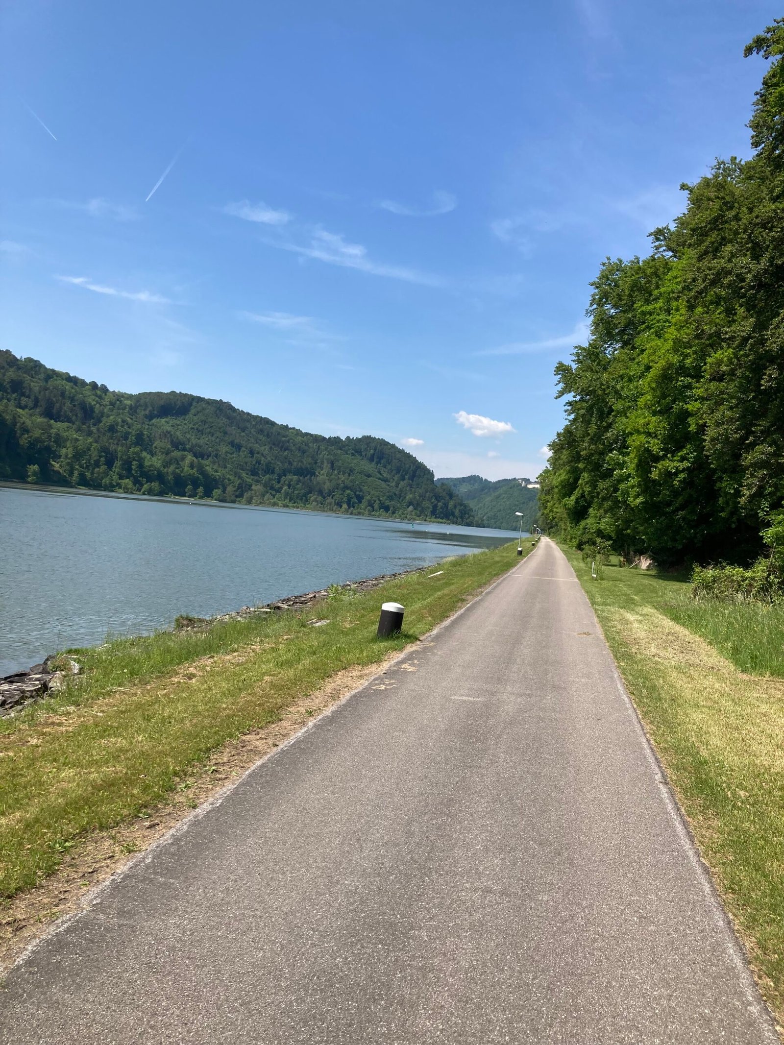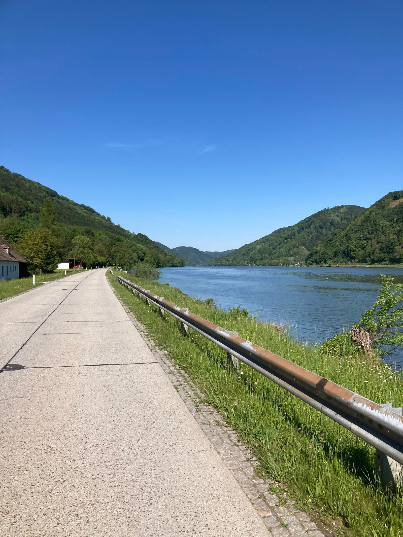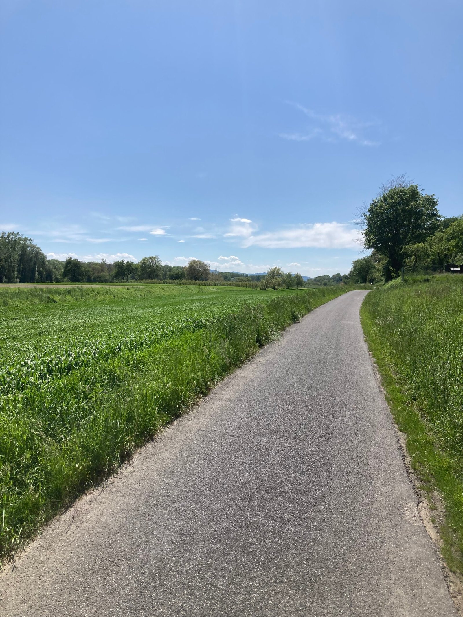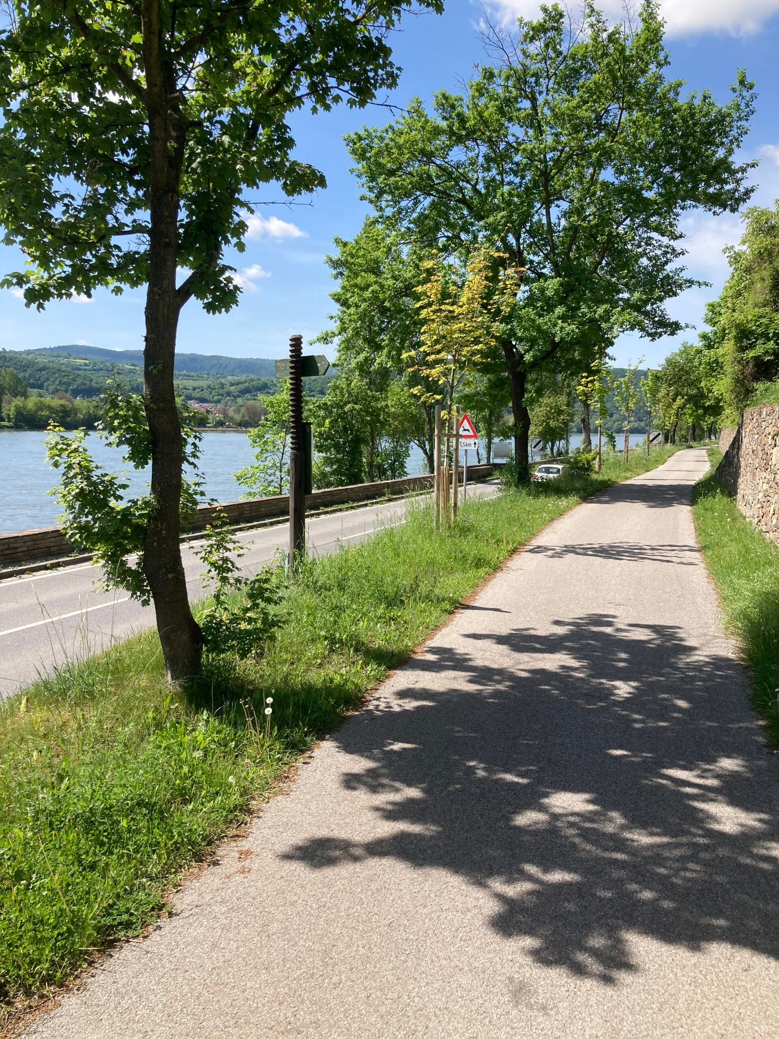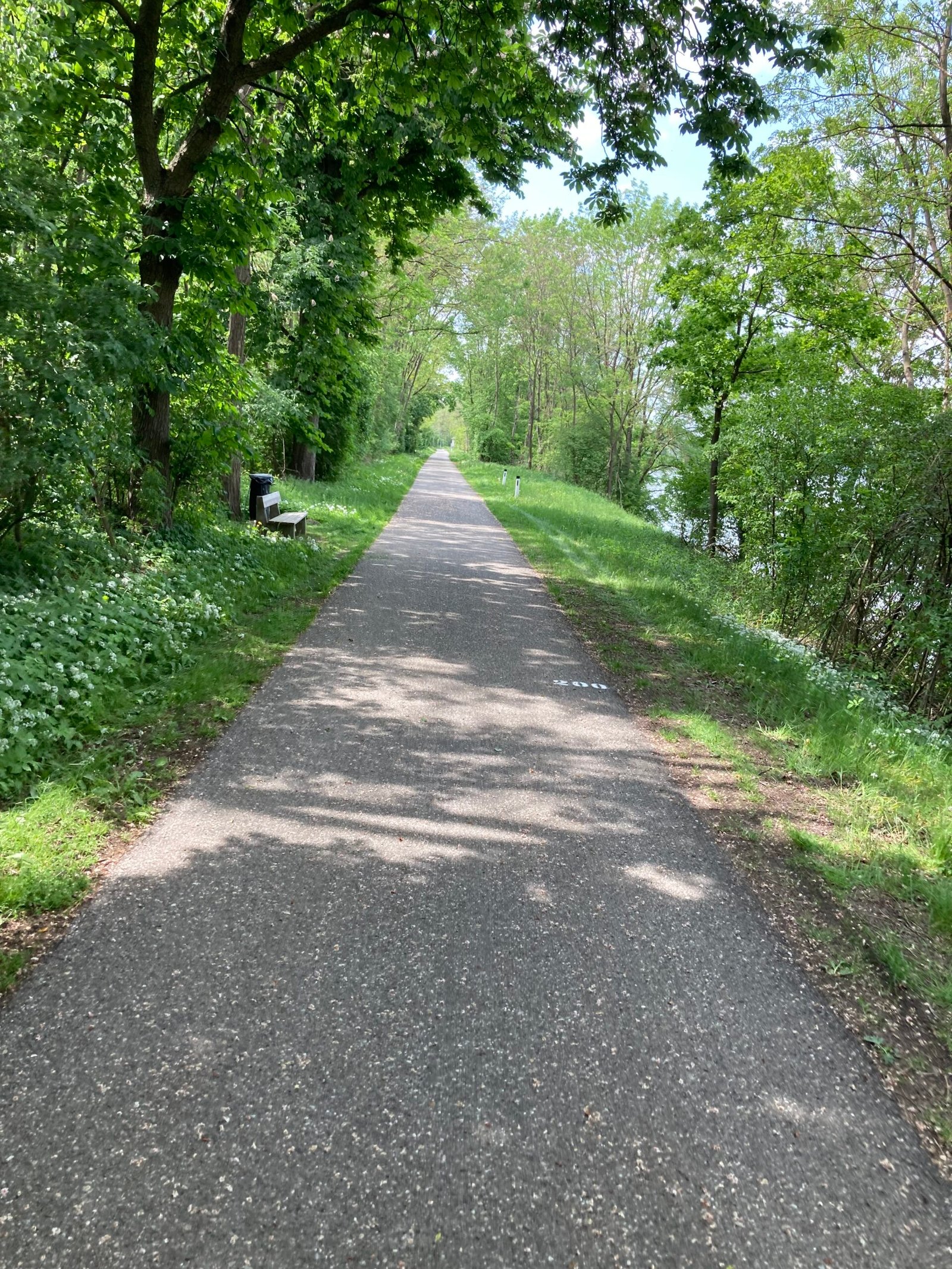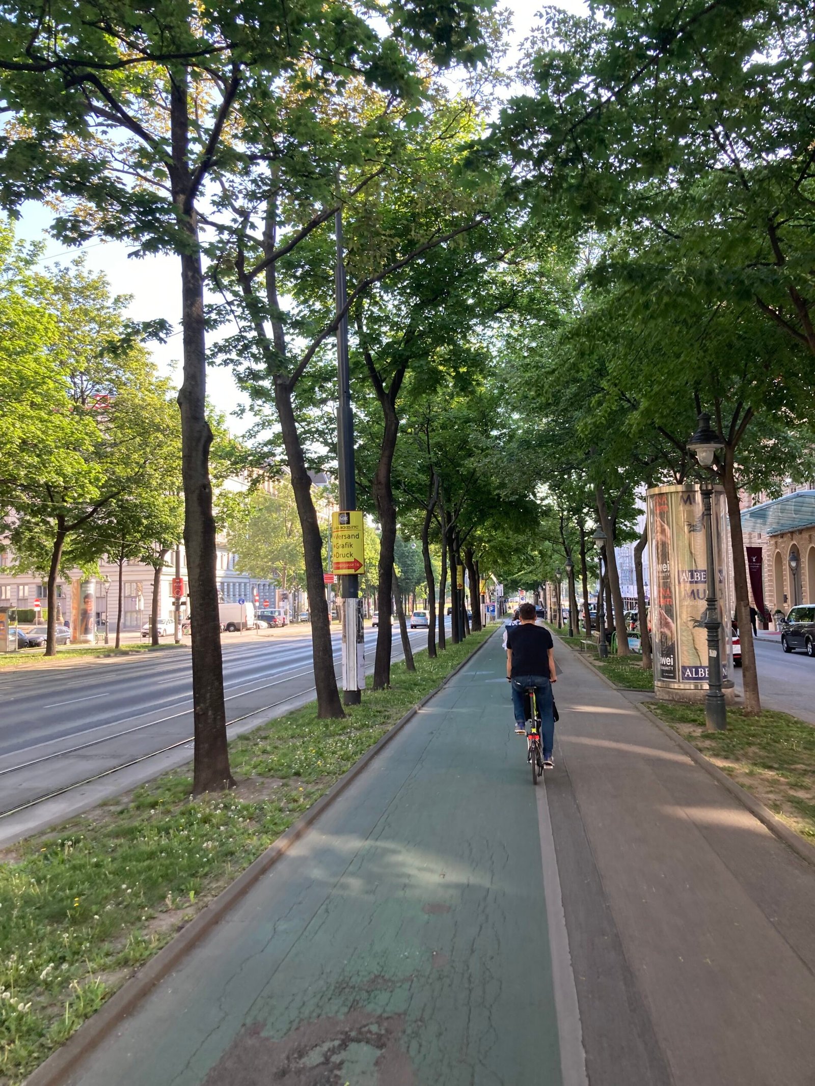
The Danube Bike Path in Austria (Donauradweg) is a world-renowned, well-marked, mostly flat cycing route following the Danube River; especially popular from Passau (Germany) to Vienna, offering cultural sights, vineyards (Wachau), and excellent infrastructure with paved paths, easy gradients, and abundant accommodations for a classic European biking holiday. It features dedicated, traffic-free paths on both banks, charming villages, historic towns, and is suitable for all ages and fitness levels, with options for e-bikes and bike-and-boat tours.
330 mi
5-8 Days
10000
Slovakia, Austria, Germany
Terms of Use: Cycling any route featured on this website is done entirely at your own risk. Before setting out, always check current route conditions, and any public or private land closures. While riding, obey all applicable laws, rules, and land-use restrictions, and ensure you carry appropriate safety and navigation equipment. The information provided on this site including route descriptions, maps, and recommendations is intended solely as a planning and inspirational resource and should be used in conjunction with your own research, judgment, and due diligence. The accuracy, completeness, and suitability of the information, and the judgment of the author(s) cannot be guaranteed. Spokenlocal.com, its partners, affiliates, and contributors assume no responsibility or liability for personal injury, property damage, or any other incidents that may occur while riding or following any route featured on this website.