This family-friendly route makes for an awesome day trip workout, perfect for people of all skill levels.
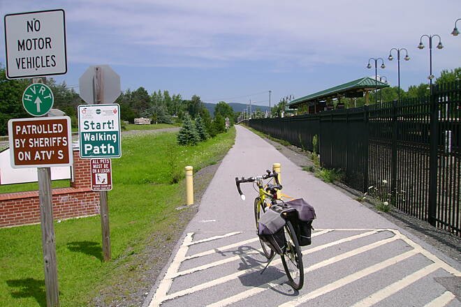
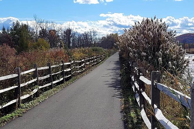
The Harlem Valley Rail Trail is a mostly paved rail-trail that follows an abandoned portion of the historic New York & Harlem Railroad bed from Wassaic up toward Copake Falls and beyond in Dutchess and Columbia Counties. It winds through pastoral farmland, wooded wetlands, quaint village centers, and historic landscapes, offering a relaxed and accessible ride for cyclists, walkers, skaters, and families.
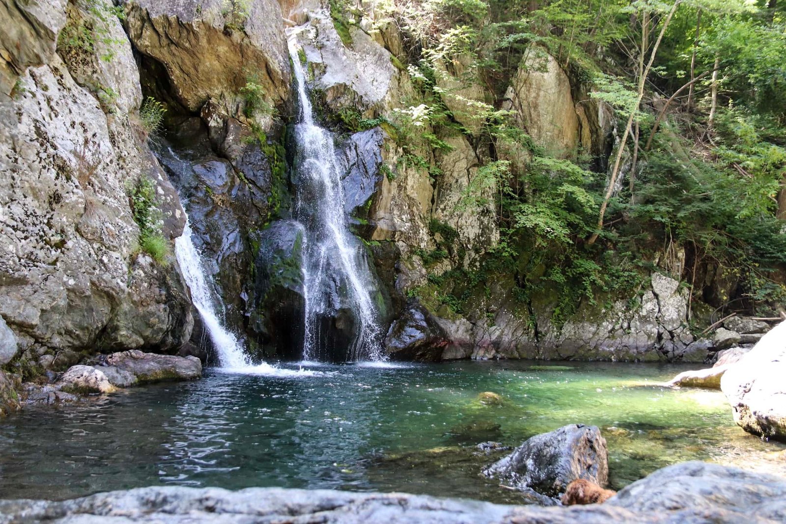
Because the trail uses a former rail corridor, it is mostly flat with gentle grades, ideal for riders of all abilities including beginners and families. Note that this route involves a detour inside Mount Washington State Park. This detour involves a pretty hefty 800ft climb. This detour is totally optional.
This is an Out-and-back trail and all measurements include this. The trail on the map has an additional detour which takes you into a portion of Mount Washington State Park in Massachusetts. This roughly 10 mile super-scenic detour takes you around a mountain and ends up in a gorgeous waterfall called Bish Bash Waterfall. Note that this detour is totally optional! It is on a very quiet road which is bike friendly but does involve a pretty hefty climb!
El Avocado Café (Amenia, NY): Authentic Mexican food joint. Directly off the trail.
Harney & Sons (Millerton, NY): Teas from around the world and nice bites to eat. Directly off the trail.
The Farm Store (Millerton, NY): Gorgeous local farm store with some ready-made food. .5 mi west of trail. .
718 Outdoors (Brooklyn, NY): This is an awesome local bike touring company that offers several supported tours and micro-tours in the Northeast region. While they are not specifically a shop, they are a great resource in case you need information or would like to do a ride with a group of people! . Online Business.
Bash Bish Bicycle & Tour | Service & Supply (Copake Falls, NY): Great place for bike rentals and repair. Directly off the trail.
55 mi
1-2 Days
1700
United States
Terms of Use: Cycling any route featured on this website is done entirely at your own risk. Before setting out, always check current route conditions, and any public or private land closures. While riding, obey all applicable laws, rules, and land-use restrictions, and ensure you carry appropriate safety and navigation equipment. The information provided on this site including route descriptions, maps, and recommendations is intended solely as a planning and inspirational resource and should be used in conjunction with your own research, judgment, and due diligence. The accuracy, completeness, and suitability of the information, and the judgment of the author(s) cannot be guaranteed. Spokenlocal.com, its partners, affiliates, and contributors assume no responsibility or liability for personal injury, property damage, or any other incidents that may occur while riding or following any route featured on this website.