As of 01/01/2026 - The Mass Central Rail trail is ~65% complete. There are several local organizations working hard to support this major effort to complete the remaining segments. Read more about it here: https://www.masscentralrailtrail.org/
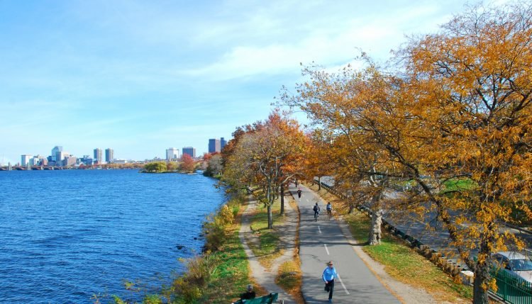
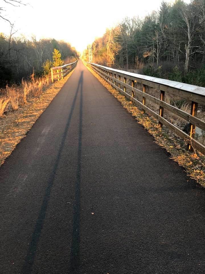
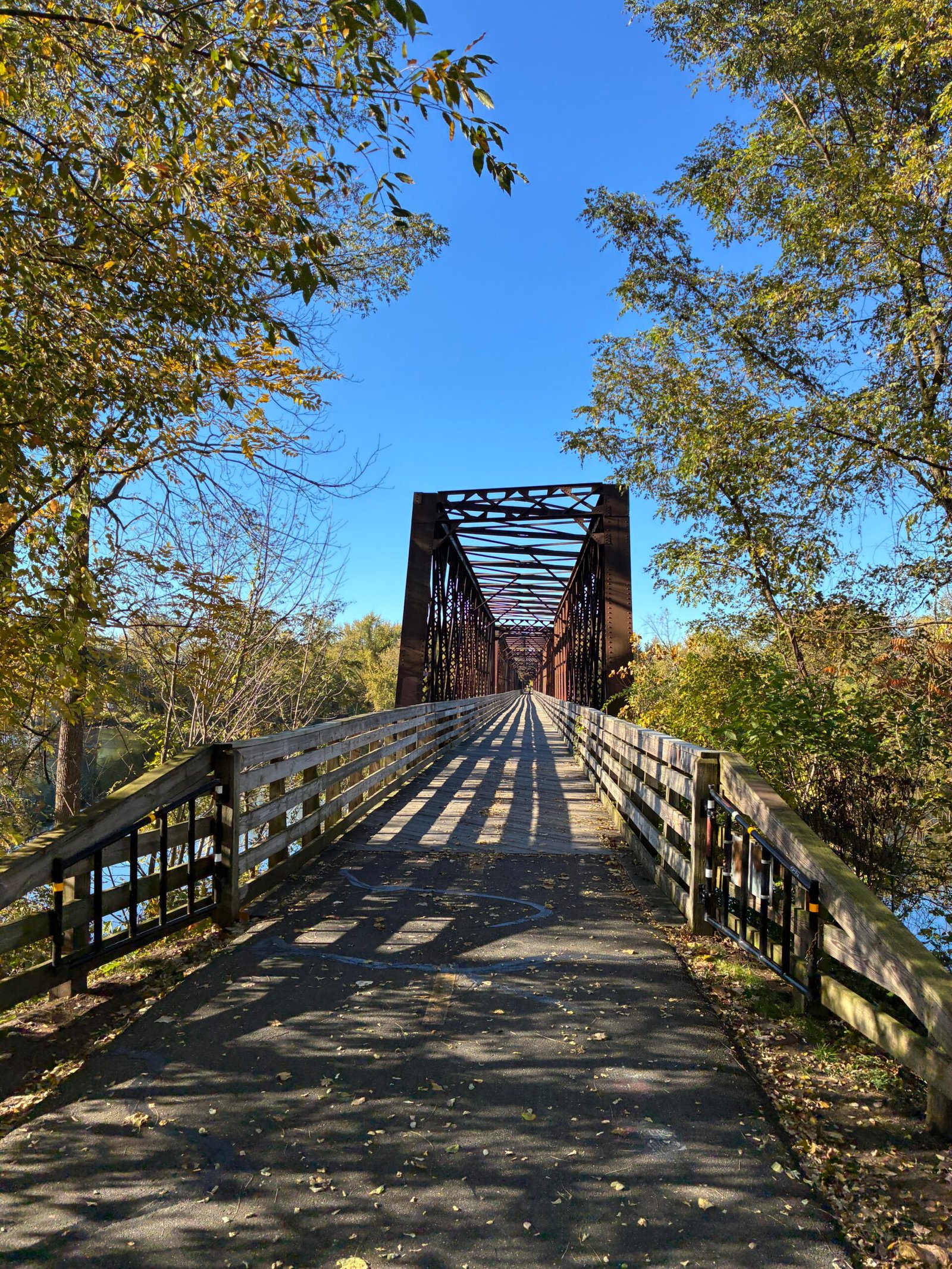
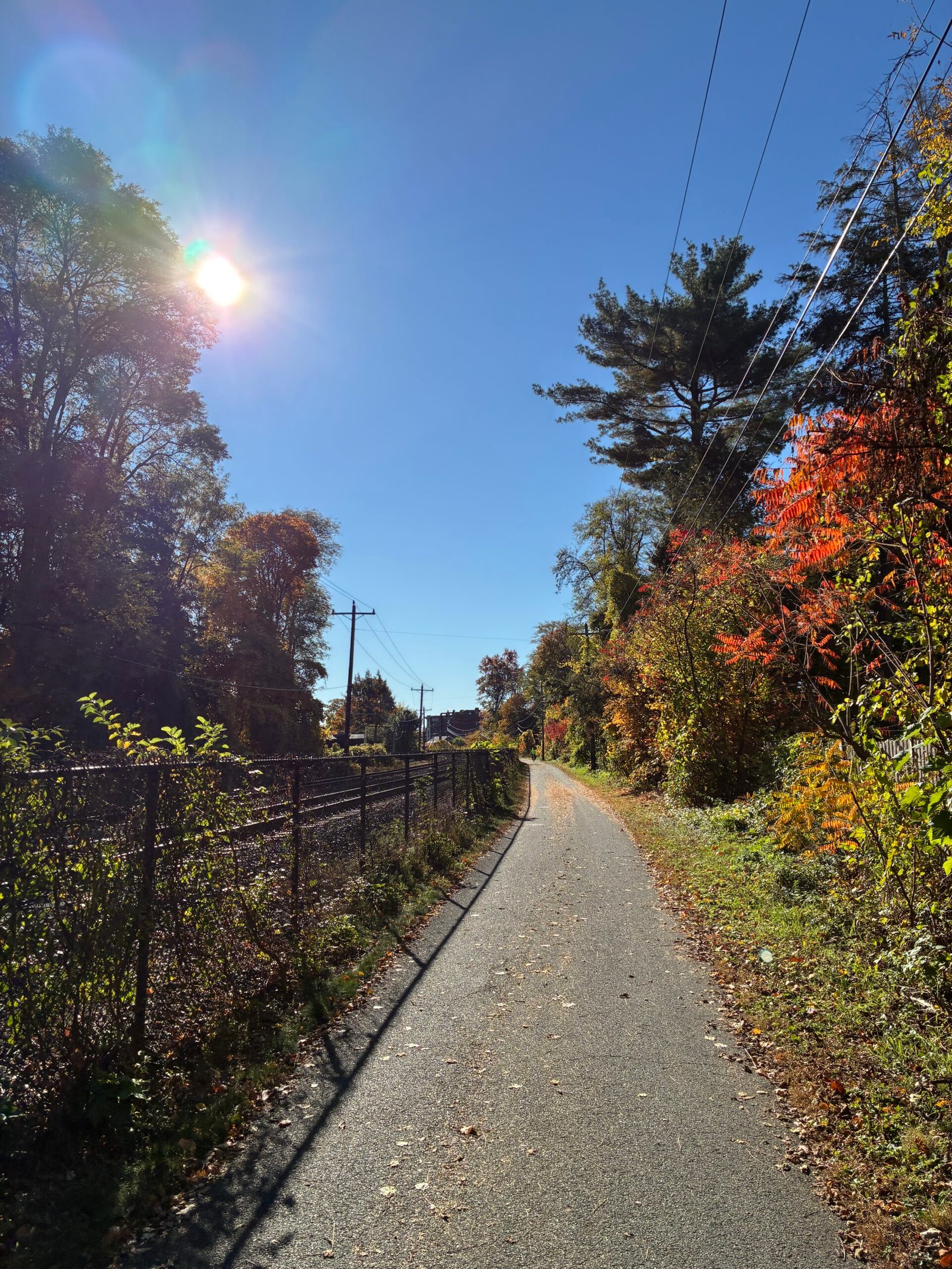
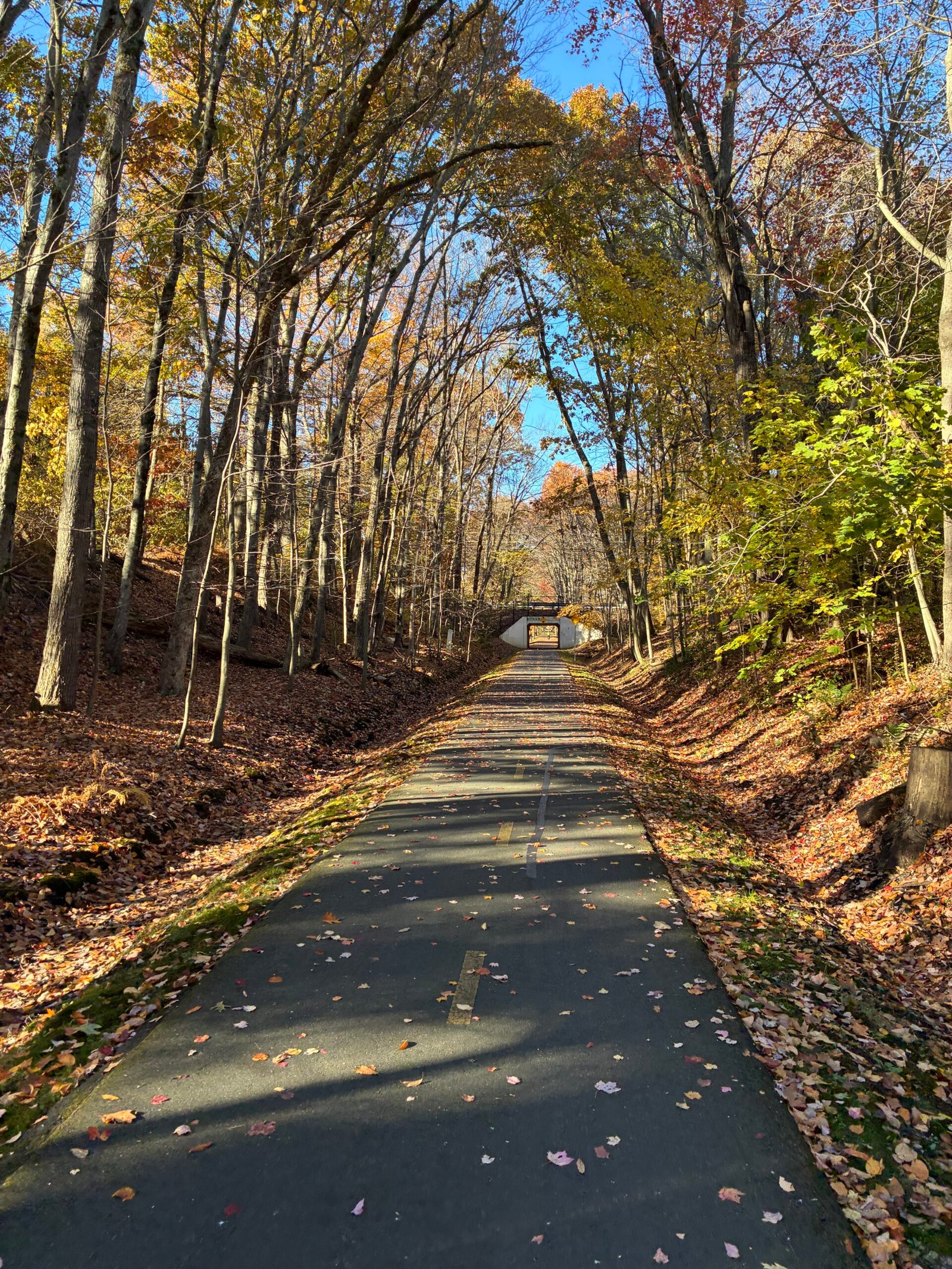
The Mass Central Rail Trail is an evolving cross-state trail envisioned to stretch ~104 miles from Northampton to Boston along an old rail corridor. Currently over 60 miles are open, weaving through rural farmland, small towns, wetlands and suburban commons. It blends smooth paved sections with classic crushed stone rail-trail surfaces that appeal to cyclists, walkers, runners, families and even commuters. Completion is supported by local communities and land trusts aiming to unlock healthy recreation, local commerce and environmental connectivity.
Once the route is completed, this route will be listed as Easy. For now, there are several sections that take you on quiet roads with limited shoulders which are not for the faint of heart. That being said, there are several portions of the trail that are complete and make for great rides if you are looking for nice day ride!
Abandoned Building Brewery (Easthampton, MA): Great brewery inside a newly renovated old mill building. Also makes for a cool stop to enjoy the various small businesses. . Directly off the trail.
New City Brewery (Easthampton, MA): Great brewery inside a newly renovated old mill building. Also makes for a cool stop to enjoy the various small businesses. . Directly off the trail.
Cushmans Cafe (Amherst, MA): Awesome local cafe with a great brunch menu to fuel up on the ride. Also a mini grocery store for some essential needs. . 1 mile North of the Trail.
Hadley Scoop (Hadley, MA): Awesome ice cream spot where you can literally pet the cows where the cream comes from!!. 500 ft south of the trail.
Northampton Bicycle (Northampton): Local bike shop with a connected bar which is open for special events. Highly Recommend!. .5 mile from the trail .
Farina’s (Watertown, MA): Family owned bike and repair shop. Directly off the trail.
UMass Bike Co-Op (Amherst, MA): Super-friendly bike shop run by UMass students. Offer great community and awesome services. Also a lovely place to take a stroll as your bike is getting worked on!. .5 mile from the trail .
Frank’s Spoke’n Wheel (Sudbury, MA): Local bike shop. Directly off the trail.
Assabet River Bicycles (Hudson, MA): Bike Shop. Directly off the trail.
Green Light Bicycle Shop (Belchertown, MD): Local bike shop. Directly off the trail.
Laughing Dog Bicycles (Amherst): Local Bike Shop. .5 mile from the trail .
Bike Type: Hybrid, gravel, or mountain bike best for mixed surfaces. Road bikes are NOT recommended for the full route, but totally doable for the fully paved sections (Esplanade, Norwottuck Trail) if you're just looking for a quick day ride.
Safety: Given sections will be on the road, some safety gear such as lights, mirrors, and reflective visible vests are critical.
Signage: Varies by section — urban paved pieces are marked; rural/dirt sections may lack clear wayfinding. Detours off the official route are NOT clearly signed. You can use certain pre-created apps but PLEASE use caution as they may not contain the latest updates
Massachusetts is a densely populated state so you will never be too far from Cell Signal, Food, and Water. Pro Tip: When planning for lodging, Have a few options at different distance intervals (30, 40 and 50 miles). This way if you are feeling tired, take one of the earlier stops; but if you're feeling great push on thru to the further option.
Best Seasons:
105 mi
1-2 Days
United States
Terms of Use: Cycling any route featured on this website is done entirely at your own risk. Before setting out, always check current route conditions, and any public or private land closures. While riding, obey all applicable laws, rules, and land-use restrictions, and ensure you carry appropriate safety and navigation equipment. The information provided on this site including route descriptions, maps, and recommendations is intended solely as a planning and inspirational resource and should be used in conjunction with your own research, judgment, and due diligence. The accuracy, completeness, and suitability of the information, and the judgment of the author(s) cannot be guaranteed. Spokenlocal.com, its partners, affiliates, and contributors assume no responsibility or liability for personal injury, property damage, or any other incidents that may occur while riding or following any route featured on this website.